PFAS are known for their unique properties that make them valuable in a variety of products. For example, PFAS repel water, oil and stains, making them ideal for coatings on nonstick cookware, rain gear and carpets. Their ability to withstand high temperatures is useful in fire-resistant materials, fire fighting foams at airports and electrical insulation. Although several types of PFAS have been phased out, many are still widely used.
PFAS contamination can come from a variety of sources, including manufacturing facilities that use PFAS in their products, municipal wastewater treatment plants, landfills and waste sites where improper disposal can lead to contamination of surrounding soil and water and sewage sludge treated with PFAS-containing materials.
The widespread use and persistence of PFAS have led to their presence in drinking water supplies across the country. PFAS can build up in the bodies of animals and humans, known as bioaccumulation, when ingested through contaminated water or food.
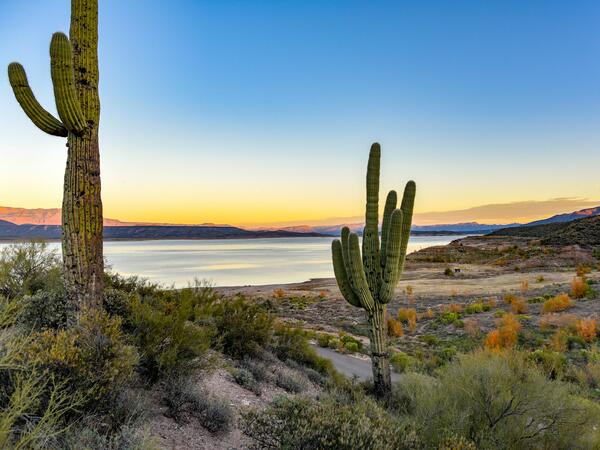
Arizona’s population has grown steadily over the years, however through significant investments in water conservation and infrastructure and the reuse of water, our water use is essentially the same as it was more than half a century ago.
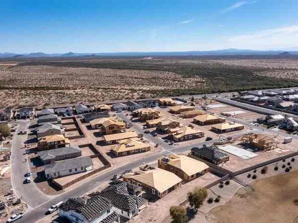
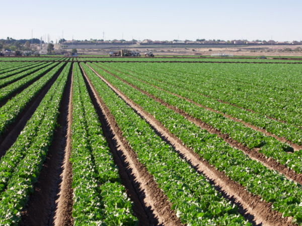
To take a closer look at this pattern, replacing agricultural lands with municipal development almost always results in a net decrease in water use. It takes approximately 6 acre-feet per acre to grow cotton or alfalfa in our desert climate, and only around 1 acre-foot per acre to serve a subdivision, though these numbers can vary depending on climate, the crop grown, and the density of the urban development. In addition, almost all of the water that enters urban wastewater treatment systems can be reclaimed and reused.
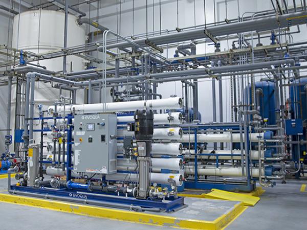
Future sources of water include: desalinated, brackish groundwater; desalinated ocean water (noting that currently desalination of ocean water may be part of Arizona’s water supply in the future, but it is very expensive and energy-intensive); direct potable reuse of reclaimed water; transfers of Colorado River water from agricultural to urban uses; limited inter-basin transfers of groundwater.
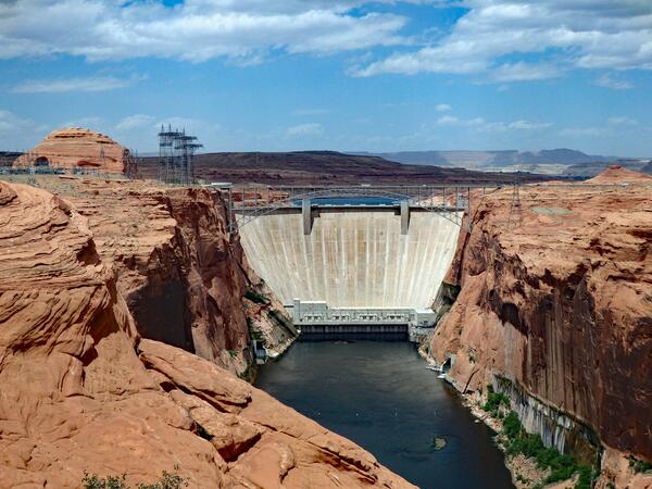
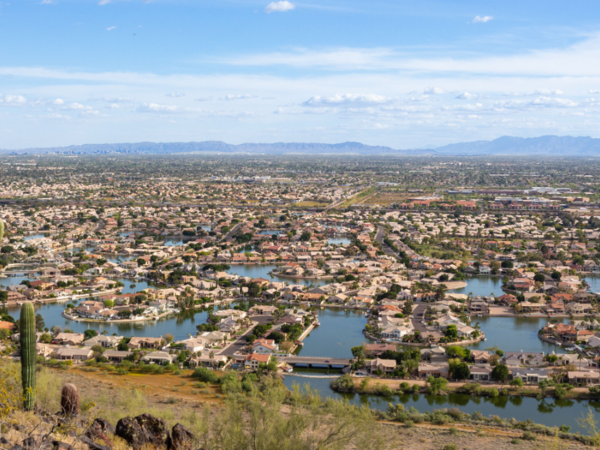
In the Greater Phoenix area, we have access to several sustainable sources of supply. We have surface water from the Colorado River and our local Salt and Verde River Watershed, we have groundwater, and we have recycled and reused water.
Based on 2019 data, 72% of the water used in Arizona is for agriculture, while 22% is used for cities (municipal use) and 6% is used for industries. This is in line with how water is used in much of the world. Learn more.
Tools
Arizona Water Blueprint
Explore Arizona's water with the Arizona Water Blueprint, a data rich tool developed by the Kyl Center for Water Policy at ASU.

Arizona Water Chatbot
Arizona Water Chatbot is your Grand Canyon State water pal. Learn about drought, water conservation, and creative ways to protect our desert oasis's vital resource. Together, we can improve Arizona's water future!…
Colorado River Basin Tribal Water Use
Colorado River Basin Tribes from the University of Colorado Law School seeks to describe tribal water uses across the Colorado River basin and introduces some of the common impediments to those uses.
AMA Data Maps
The Arizona Department of Water Resources Active Management Area (AMA) data maps include the Annual Supply and Demand Dashboard and Agricultural Program water usage.
Surface Water in My Community Map
The Arizona Department of Environmental Quality's Surface Water in My Community map shares critical information on lakes and streams across the state, indicating factors such as impairment and permit limit excession…
Drinking Water in My Community Map
The Arizona Department of Environmental Quality's Drinking Water in my Community map focuses on public water systems throughout the state, indicating where contaminants such as nitrate have been detected and the…
Fact sheets
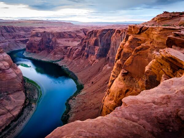
The Colorado River Shortage and What it Means
Most Arizonans’ primary relationship to water is when it comes out the tap in their kitchen or rains down on them from their shower. So it’s only natural that most Arizonans’ primary question about the Colorado River…
Untangling Housing Affordability & Groundwater Regulation
To ensure long-term water supplies for current residents, the state has imposed limitations on some new housing subdivisions and other types of development. While the new limitations may increase the costs of new homes in…

New federal PFAS rule
An explainer from the Arizona Water Innovation Initiative on the new federal regulation for PFAS in drinking water due to prevalence in surface or ground waters.
Arizona Water Factsheets
These county-level factsheets from the University of Arizona's Water Resources Research Center are designed to answer common questions about water resources, tailored to every county in Arizona so as to foster…
Tribal Water Policy
In recognition of the unique sovereignty and water rights of Tribal nations, a program from the Kyl Center for Water Policy and the Arizona Water Innovation Initiative aims foster collaboration and broader understanding…
Research and policy briefs
ASU is innovating agriculture for a more food-secure future
Agriculture is as old as our state — older, in fact — yet today's approaches to our food supply are anything but. From AI drones to supply routes that get produce from farm to table faster, advances in agriculture are…

Technology Roadmap: Sea of Cortez Desalination
The Sea of Cortez Desalination Roadmap encompasses the project scope and considers the magnitude of an intake in a sea with high tidal fluctuations, a desalination plant, and long-distance conveyance with extensive…
Technology Roadmap: Industrial Water
This Technology Roadmap for industrial water summarizes drivers and research opportunities that support industrial water recycling and onsite reuse.
Technology Roadmap: Brackish Groundwater
Brackish groundwater represents the largest unallocated water resource in the state of Arizona, “with more than 600 million acre-feet (AF) of recoverable brackish groundwater in storage.”
Technology Roadmap: Atmospheric Water Extraction (AWE)
Water extracted from the atmosphere is essentially pure water, therefore, atmospheric water extraction (AWE) holds great potential to produce freshwater with high water quality.

Technology Roadmap: Executive Summary
From the Global Center for Water Technology, an overview of technology roadmaps.
Newsletters
Interested in keeping up with our events, news, and resources? Sign up for our newsletter today!
Sign up
Videos and webinars

About the Arizona Water Blueprint webinar
The Arizona Water Blueprint is a data-rich, interactive map of Arizona’s water resources and infrastructure. Offering data visualizations and in-depth multimedia content on important water-related topics, the Water…
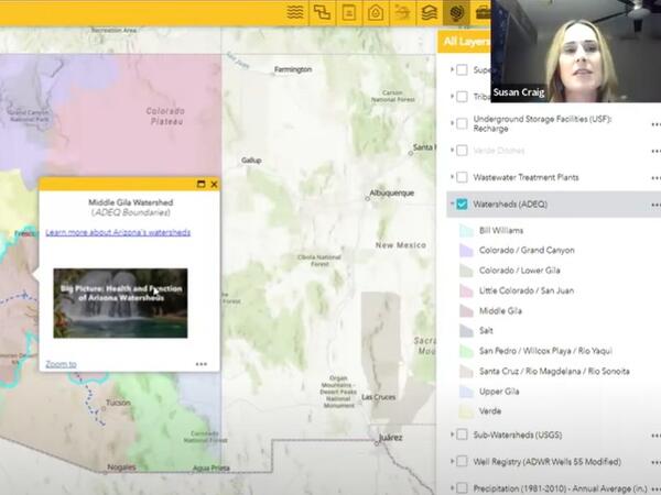
Arizona Water Blueprint webinar
Susan Craig and Sarah Porter from Arizona State University discuss water issues in Arizona and the Arizona Blueprint, which allows users to visualize water information across the state.
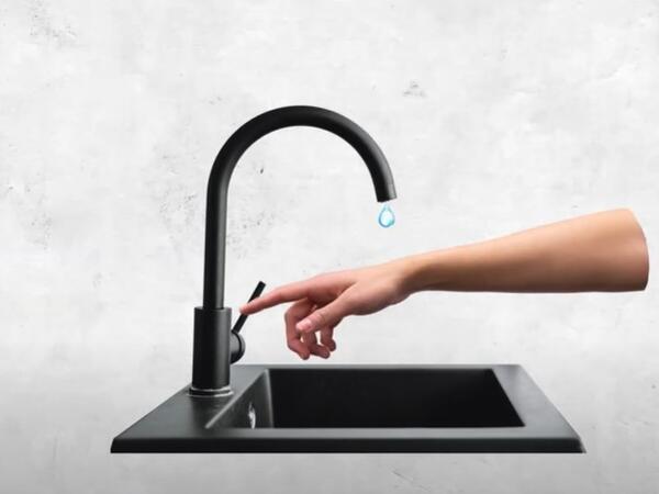
Where does my water come from?
We talked with ASU expert Sarah Porter to get a better understanding of the various sources of water Arizonans draw from and how that water makes it to your home.
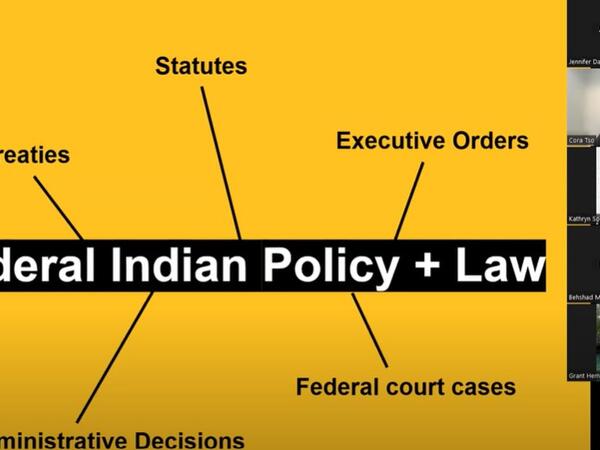
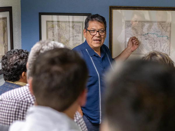
Arizona Tribal Water Rights: How did we get here?
Arizona is home to twenty-two Native American Tribes, each with historic and unique water rights and legal considerations shaped by federal policies, treaties, court decisions and legislative actions. Learn more with this…

Northeastern Arizona Indian Water Rights Settlement Agreement Webinar
For over 60 years, the Navajo Nation and Hopi Tribe have been engaged in legal battles to secure their water rights. In May, these Tribes and other parties announced a landmark settlement. Watch this webinar from the Kyl…
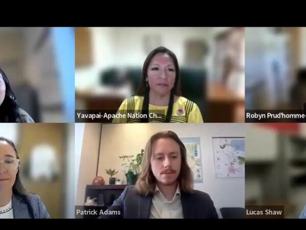
Yavapai-Apache Nation Water Rights Settlement Agreement
The Verde River is a crucial water source for Yavapai County and the Phoenix area. For over 50 years, the Yavapai-Apache Nation (the Nation) has been engaged in legal and political battles to secure its water rights.…