Areas with heavy reliance on groundwater were identified and designated as Active Management Areas (AMAs). The AMAs were established to provide long-term management and conservation of their limited groundwater supplies. Within AMAs, the Arizona Department of Water Resources administers state laws, develops and implements groundwater management plans, explores ways of augmenting water supplies to meet future needs, and works to develop public policy in order to promote efficient use and an equitable allocation of available water supplies. Statutory management goals for each AMA guide the policies for managing water in these areas. Outside of AMAs, groundwater rights in Arizona are generally tied to ownership of the overlying surface land, meaning they cannot be bought or sold separately from the land. Learn more.

The 1980 Groundwater Management Act includes provisions to help prevent this scenario. Under the Act, there are two kinds of areas in which groundwater is regulated:

1. Irrigation Non-Expansion Areas (INAs) – wells larger than small residential wells are metered, and their groundwater use is reported annually. In addition, there is a prohibition on new irrigated agriculture (defined as two or more acres). 
2. Active Management Areas (AMAs) – metering and reporting of groundwater use; prohibition on new irrigated agriculture; developments of six or more homes cannot be platted without proof of a 100-year supply of water that is physically, financially, and legally available. Every ten years, ADWR develops a new management plan for each AMA, with increasingly rigorous conservation and efficiency requirements for all sectors. Agriculture tends to be the biggest water-using sector, and since 1980, new irrigated agriculture has been prohibited within the AMAs and Irrigation Non-Expansion Areas. (No such prohibition is in place outside the AMAs and INAs, which is why some parts of the state have seen an influx of industrial-scale, groundwater-dependent agriculture.) Farms with grandfathered wells are permitted to pump groundwater to irrigate their crops. Energy costs to pump groundwater are a consideration for farmers, particularly as the water table falls and more energy is required to pump it for use. At some point, the energy costs may render some types of irrigated agriculture unprofitable.

Usually, if municipal water is available it is much less expensive and far more reliable than water from an individual private well. Outside AMAs and INAs, there is virtually no regulation on the amount of water a well owner can pump.

Groundwater is water found under the surface of the earth between the pores and fractures of sand, gravel, and rock known as aquifers. We have access to a large groundwater resource and a large aquifer under the Phoenix region, and there are groundwater basins across the state of Arizona. Groundwater needs to be carefully managed because it is largely non-renewable on a human-time scale. Surface water from rivers is renewed by rain and snow, unlike groundwater, which is withdrawn much faster than it is replenished in Arizona. It can take decades, hundreds, or even thousands of years to replenish to the level that we have now. It's important to carefully manage it and look out over 100 years to ensure that groundwater is sustainable over that period. To explore changes in groundwater levels throughout Arizona, use the Arizona Water Blueprint tool created by the Kyl Center for Water Policy, one of the pillars of the Arizona Water Innovation Initiative.

Groundwater Level Changes

An interactive map that shows groundwater level changes across the state's sub-basins for 1-year, 10-year, and 20-year time periods from the Kyl Center for Water Policy.

Windmills in the desert

Rural Groundwater Resilience Toolkit

Providing rural Arizona communities with groundwater resilience guidance, direction, and resources to address local water challenges and strengthen long-term, science-driven solutions. Developed by Impact Water - Arizona…

Francisco school of transborder studies

AMA Data Maps

The Arizona Department of Water Resources Active Management Area (AMA) data maps include the Annual Supply and Demand Dashboard and Agricultural Program water usage.

Man in a checked shirt stands in front of a well housing with field in background

Private Domestic Well Map

The US Environmental Protection Agency's Private Domestic Well map allows users to search for private domestic wells, utilizing 2020 U.S. estimates

Groundwater recharge basins in Phoenix, courtesy of CAP

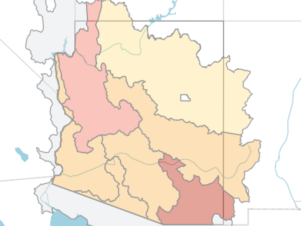
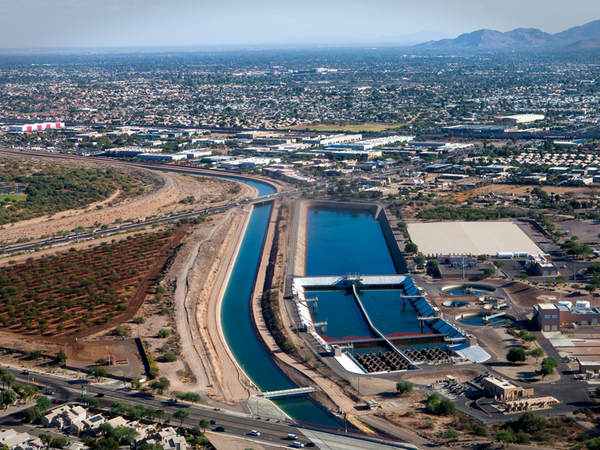
Groundwater Use Rights Map

A comprehensive map of Arizona groundwater rights and irrigation authority based on location, intended for use by owners of irrigation grandfathered rights, owners of Type 1 non - irrigation GFRs, irrigation…

Fact sheets

A blue ribbon river flows through an arid landscape

Annual Water Supply and Demand Estimates

Arizona Department of Water Resources supply and demand assessments of each groundwater basin in the state to improve understanding of the current and future water conditions  throughout the state. …

Tempe Lake

Arizona Water Factsheets

These county-level factsheets from the University of Arizona's Water Resources Research Center are designed to answer common questions about water resources, tailored to every county in Arizona so as to foster…

Research and policy briefs
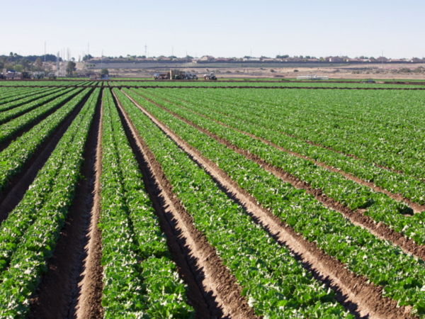
Arizona agriculture water usage

Exploratory Scenario Planning for Water Resilient Agriculture

In September 2023, the Babbitt Center, with our partners at the Arizona Water Innovation Initiative at ASU and Lincoln Institute’s Consortium for Scenario Planning, brought together farmers, ranchers, residents,…

canal in arizona

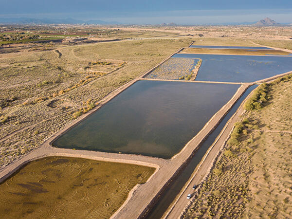
Groundwater Protection in the Valley of the Sun

Sustainable water management is essential in the Valley of the Sun, underpinning public health, economic vitality and quality of life in our desert cities. Underneath the Valley sits an enormous aquifer containing enough…

rural groundwater usage

The Myth of Safe-Yield

As Central Arizona Project water becomes less available, central Arizona will be forced to rely more and more on groundwater, increasing the urgency to better manage it as a savings account for a drier future. The goal of…

enough water

The Elusive Concept of an Assured Water Supply

For nearly 40 years in its most urban areas, Arizona has prohibited the sale of subdivision lots that lack a 100- year assured water supply. But in 1993, the Legislature changed course and created a new path to show an…

Newsletters

Interested in keeping up with our events, news, and resources? Sign up for our newsletter today!

Sign up

Videos and webinars

What about water logo

What About Water? podcast

"What About Water? with Jay Famiglietti" connects water science with the stories that bring about solutions, adaptation, and action for the world's water realities. Presented by Arizona State University and the University…

blue and orange logo with water talk and wave

Water Talk podcast

Water Talk brings together communities to explore water issues, including climate change, scarcity, and access. Hosted by Faith Kearns, Mallika Nocco, and Samuel Sandoval.

Windmills in the desert

Agriculture & Water in the West

In September 2023, the Babbitt Center, with our partners at Arizona State University’s Water Innovation Initiative and Lincoln Institute’s Consortium for Scenario Planning, brought together farmers, ranchers, residents,…

Sustainable water management is essential in the Valley of the Sun, underpinning public health, economic vitality and quality of life in our desert cities. Underneath the Valley sits an enormous aquifer containing enough groundwater to fuel many generations of families and economic enterprises. Learn more in this report from the Kyl Center for Water Policy and the Arizona Water Innovation Initiative.

As Central Arizona Project water becomes less available, central Arizona will be forced to rely more and more on groundwater, increasing the urgency to better manage it as a savings account for a drier future. The goal of safe-yield has been fundamental to the state's efforts to safeguard groundwater, but it is insufficient to ensure the long-term sustainability of groundwater supplies.

For nearly 40 years in its most urban areas, Arizona has prohibited the sale of subdivision lots that lack a 100- year assured water supply. But in 1993, the Legislature changed course and created a new path to show an assured water supply using groundwater–a non-renewable resource–with the promise that the groundwater would be replenished with surface water acquired after the fact. Learn more in this report from the Kyl Center for Water Policy.

These county-level factsheets from the University of Arizona's Water Resources Research Center are designed to answer common questions about water resources, tailored to every county in Arizona so as to foster understanding of the local nature of Arizona water resource challenges and solutions.

The Arizona Department of Water Resources Active Management Area (AMA) data maps include the Annual Supply and Demand Dashboard and Agricultural Program water usage.

A comprehensive map of Arizona groundwater rights and irrigation authority based on location, intended for use by owners of irrigation grandfathered rights, owners of Type 1 non - irrigation GFRs, irrigation district managers, as well as buyers and sellers of land within an AMA, amongst others.

The Arizona Groundwater Dashboard provides insights into the state's groundwater basins based on data collected from the Arizona Department of Water Resources.

In September 2023, the Babbitt Center, with our partners at Arizona State University’s Water Innovation Initiative and Lincoln Institute’s Consortium for Scenario Planning, brought together farmers, ranchers, residents, city and county officials, and business leaders from the Sulphur Springs Valley in Cochise County, AZ, to find common ground for their groundwater-dependent future.