Crop change detection after drought shortage declarations in Arizona
The Colorado River is experiencing prolonged drought conditions, exacerbated by the regional effects of climate change, that have led to significant water shortages with direct impacts on agricultural practices in Arizona. Recent drought declarations in 2022 and 2023 have had varying effects on farmers, largely influenced by their water rights, in Pinal and Yuma counties.
Our team – the Advanced Water Observatory and Decision Support System pillar of the Arizona Water Innovation Initiative – is using advanced remote sensing techniques, geospatial data analysis and an AI-driven model to detect in-season crop types before and after drought declarations. The results of this work will offer insights into how agricultural producers are adapting to changing water availability.
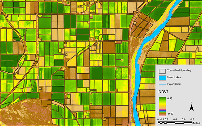
To determine how drought conditions have affected crop production in Pinal and Yuma countries, we are using Planet Fusion satellite imagery. This imagery captures reflected energy from the land surface and provides daily, high-resolution imagery at a scale of about three meters.

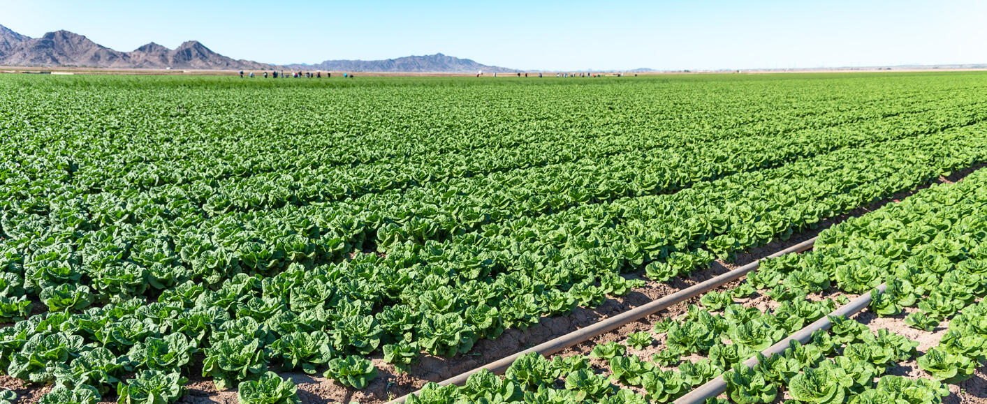
We analyzed the temporal patterns of vegetation indices, such as Normalized Difference Vegetation Index, or NDVI, for various crop types, including citrus, dates, grass, lettuce, alfalfa, wheat and broccoli, among others, to assess seasonal variations in crop types. These findings enhance our understanding of crop dynamics and farmers’ responses to drought conditions, such as field fallowing and crop type conversion.
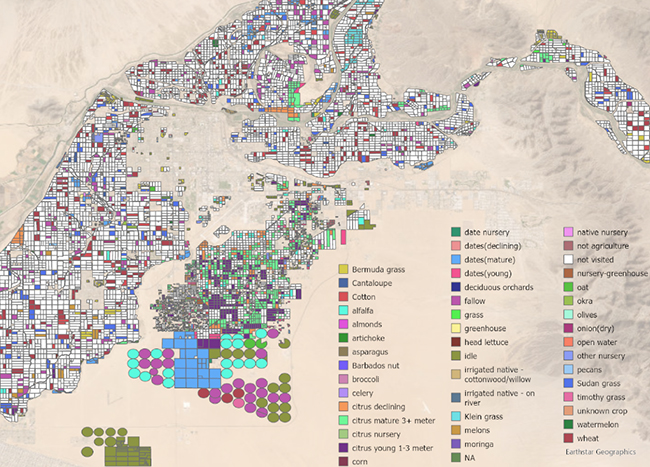
We then developed a model capable of predicting in-season crop types using annual time series of vegetation indices. This model was trained and evaluated on five years of field observations and the Planet Fusion dataset, covering the period from 2019 to 2023. The resulting cropping pattern maps offer unprecedented accuracy and detail, providing valuable information for water managers, producers and decision-makers to optimize resource allocation and enhance agricultural efficiency.
The outcomes of this research underscore the significant benefits of integrating AI analysis with high-resolution remote sensing data. Our AI-driven model achieved high accuracy in identifying in-season crop types, with accuracy improving as the length of the time series increased. This demonstrates how advanced analytics can enhance precision in agricultural monitoring, offering valuable insights for both scientific inquiry and business strategy.
We are continuing to enhance model accuracy through parameter optimization, incorporating additional input features and integrating other machine learning algorithms. Our collaboration with Planet, along with insights from a retired USDA scientist working with us on this project, enriches our understanding of agricultural responses to drought.

We are currently more than halfway through the project, having completed the initial phases of data collection and model development for Yuma County. The next steps include further refining the model, enhancing its accuracy and using time series data for Pinal County to compare the effects of drought on these two counties with differing water rights. We anticipate completing these phases within the next three months, after which the model will be fully operational and ready for practical application.
This project systematically examines crop dynamics over time, providing insights into how farmers respond to water shortages—a critical issue impacting agricultural productivity, economic stability and food security. For example, farmers with senior water rights in Yuma may face fewer disruptions compared to those in Pinal with junior rights, who might adapt by fallowing fields or altering crop types.
Understanding how water shortages influence crop choices and farming practices will help water managers allocate resources more efficiently during droughts and assist farmers in adapting their cropping strategies to mitigate the effects of water scarcity. This is essential for supporting Arizona's agricultural sector and informing future water resource management strategies.
About the author: Razieh (Rose) Barzin is a post-doctoral researcher at ASU working on crop change detection and AI-driven models.
Related: