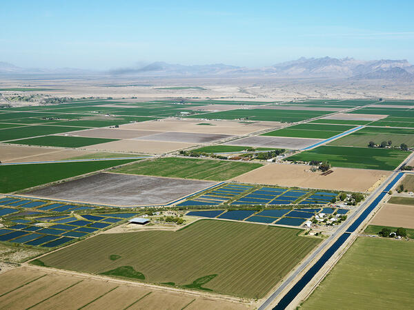
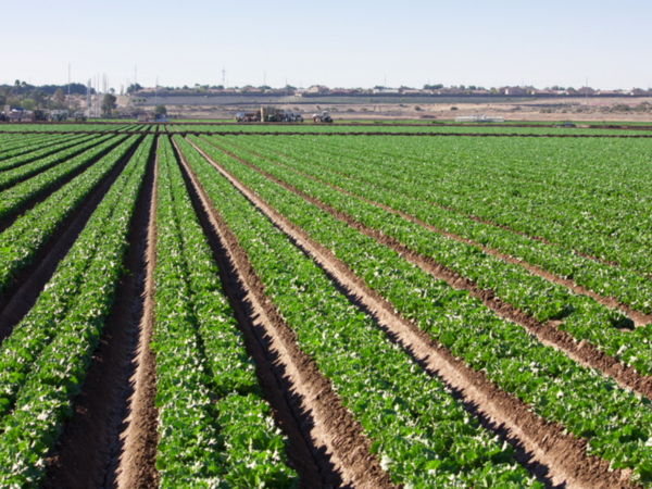
Based on 2019 data, 72% of the water used in Arizona is for agriculture, while 22% is used for cities (municipal use) and 6% is used for industries. This is in line with how water is used in much of the world. Learn more.
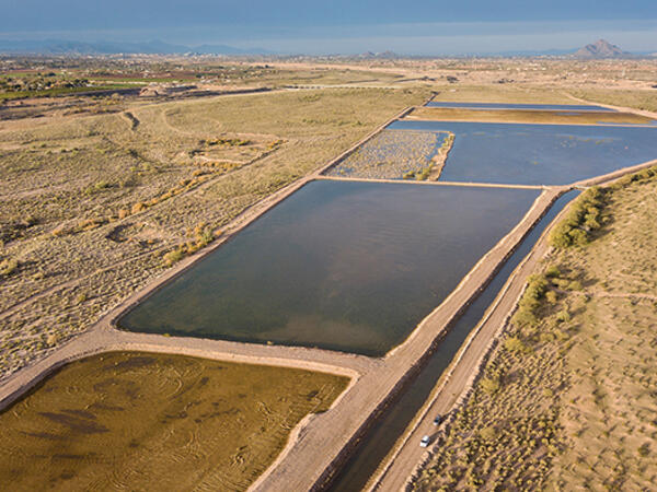
Arizona has four main sources of water: Colorado River water, in-state surface water (like the Salt River & Verde River managed by SRP), groundwater (water pumped from aquifers) and reclaimed water. Learn more.
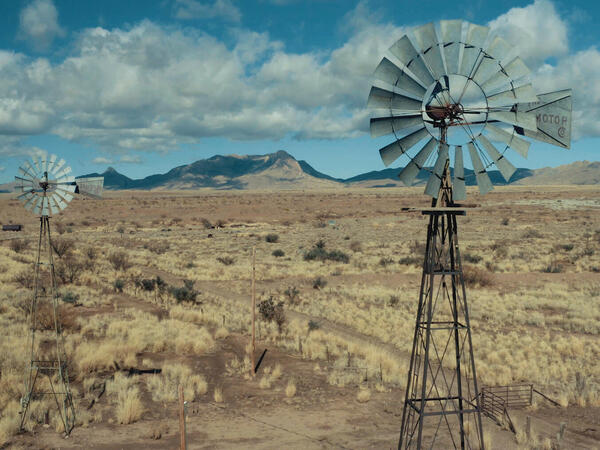
Drought is a prolonged period of below-average precipitation severe enough to negatively impact the environment and human activities. Drought is a natural occurrence and Arizona is especially sensitive to drought, since water is scarce here even during average years. Population growth continues to increase demand for water. Drought can impact domestic water supplies, ranching and farming production, vegetation, forest health and wildlife populations.
Arizona has been in some stage of drought since 1994, according to statewide precipitation patterns. Water resources in Arizona are diverse and can arrive from hundreds of miles away; such is the case with the Colorado River water. Water in the Colorado River are generated by snowmelt runoff from mountain ranges that can be located in as far as Colorado and Wyoming states, upper in the Colorado River Basin. Even water supplies that are generated within the state can originate much further than the place of consumption- either located deep underground (in the form of groundwater) or generated by snowmelt from mountains located tens of miles away from Central Arizona, where most of the state's residents live and work. Learn more.
Tools
Waterway Map
This US Environmental Protection Agency tool allows users to enter their address and learn more about their community's waterway, such as swimming access, fishing safety, aquatic life, and drinking water.
Private Domestic Well Map
The US Environmental Protection Agency's Private Domestic Well map allows users to search for private domestic wells, utilizing 2020 U.S. estimates
Groundwater Use Rights Map
A comprehensive map of Arizona groundwater rights and irrigation authority based on location, intended for use by owners of irrigation grandfathered rights, owners of Type 1 non - irrigation GFRs, irrigation…

Assured and Adequate Water Supply Map
The Arizona Department of Water Resources' interactive AAWS map includes data such as groundwater subbasins, AMAs and INAs, AAWS Issued Determination, and pumping or recovery wells.
Water Augmentation Maps
A collection of augmentation concepts such as groundwater projects, surface water projects, ocean desalination, and infrastructure projects that are currently in place or are proposed for future projects delivered via a…

AZ Groundwater Dashboard
The Arizona Groundwater Dashboard provides insights into the state's groundwater basins based on data collected from the Arizona Department of Water Resources.
Fact sheets
No resources found for this topic or audience.
Research and policy briefs
ASU is innovating agriculture for a more food-secure future
Agriculture is as old as our state — older, in fact — yet today's approaches to our food supply are anything but. From AI drones to supply routes that get produce from farm to table faster, advances in agriculture are…

Technology Roadmap: Sea of Cortez Desalination
The Sea of Cortez Desalination Roadmap encompasses the project scope and considers the magnitude of an intake in a sea with high tidal fluctuations, a desalination plant, and long-distance conveyance with extensive…
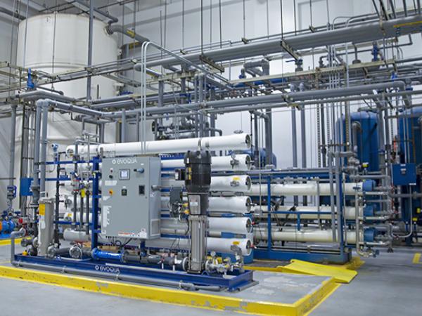
Technology Roadmap: Industrial Water
This Technology Roadmap for industrial water summarizes drivers and research opportunities that support industrial water recycling and onsite reuse.
Technology Roadmap: Brackish Groundwater
Brackish groundwater represents the largest unallocated water resource in the state of Arizona, “with more than 600 million acre-feet (AF) of recoverable brackish groundwater in storage.”
Technology Roadmap: Atmospheric Water Extraction (AWE)
Water extracted from the atmosphere is essentially pure water, therefore, atmospheric water extraction (AWE) holds great potential to produce freshwater with high water quality.

How Arizona Municipal Water Providers Are Regulating Large-Volume Water Users
Recognizing the need to manage water supplies sustainably and cognizant of public concerns about long-term availability, at least nine large municipal water providers in Arizona have passed ordinances imposing…
Newsletters
Interested in keeping up with our events, news, and resources? Sign up for our newsletter today!
Sign up
No resources found for this topic or audience.
Videos and webinars
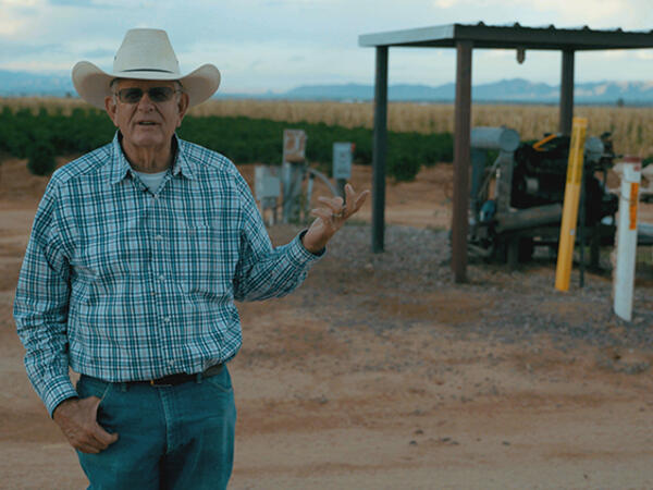
Agriculture & Water in the West
In September 2023, the Babbitt Center, with our partners at Arizona State University’s Water Innovation Initiative and Lincoln Institute’s Consortium for Scenario Planning, brought together farmers, ranchers, residents,…